
satelliteimage.jpg
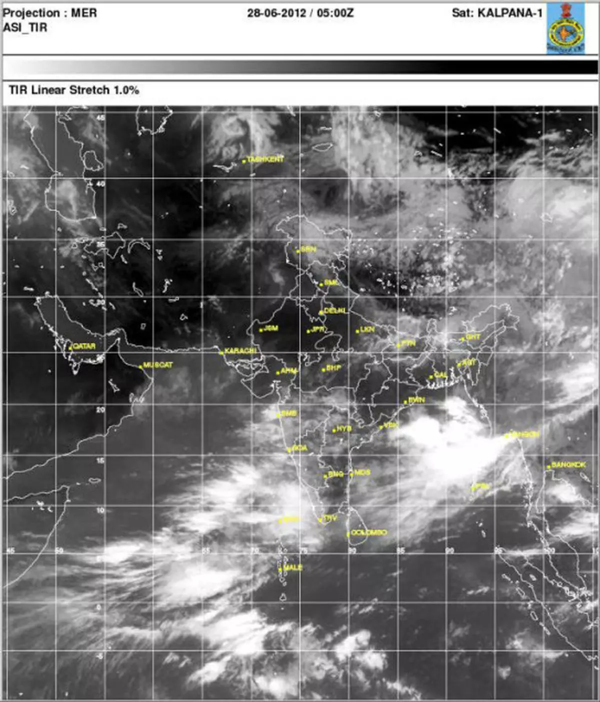
The southwesterly flows dragged in afresh by tropical storm ‘Doksuri’ in the northwest Pacific have started lashing the west coast yet again.
Some of the flows are being directed into Bay of Bengal as well, but there has been no progress in the movement of the northern limit of the monsoon.
The offshore trough extended this morning from Konkan to Kerala, which is causing the flows to drop most of its moisture along the west coast, but hardly any in adjoining interior.
Global forecasts indicate that ‘Doksuri’ would make a landfall on the southeast coast of China within the next two days.
They also indicate the possibility of formation of low-pressure areas both over the Bay of Bengal and northeast Arabian Sea (close to Gujarat coast).
Between them, they would set up a wet session across the peninsula and adjoining central India into the first week of July. But the forecasts do not suggest if the rains would march into the plains of east India and northwest India.
Eastern Maharashtra and adjoining Andhra Pradesh are the expected gainers from the emerging brief rally of monsoon flows. But they are most likely to run out of steam after three to four days, if the above forecasts are anything to go by.
More Like This
Published on June 28, 2012

Comments
Comments have to be in English, and in full sentences. They cannot be abusive or personal. Please abide by our community guidelines for posting your comments.
We have migrated to a new commenting platform. If you are already a registered user of TheHindu Businessline and logged in, you may continue to engage with our articles. If you do not have an account please register and login to post comments. Users can access their older comments by logging into their accounts on Vuukle.