
India Meteorological Department’s expectations of a full-fledged monsoon materialising in northwest India could likely prove to be misplaced.
Leading global weather models suggest any meaningful onward push into the region may not come through for at least for another week or so.
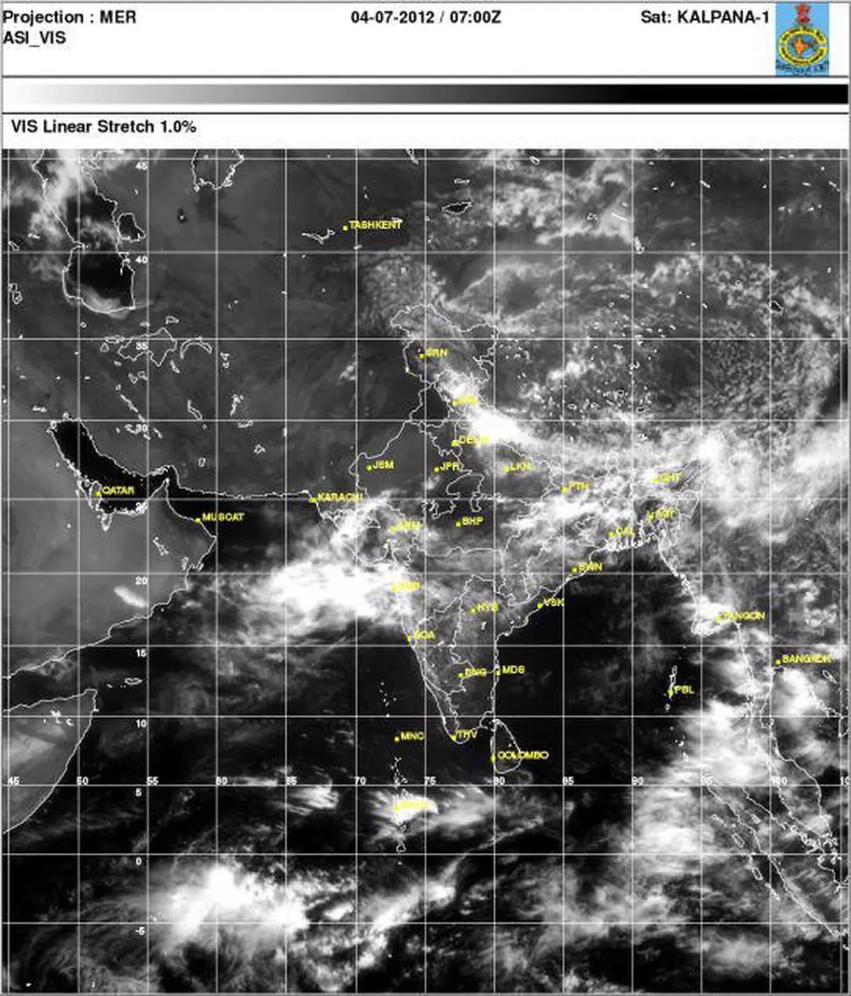
WET SPELL
In fact, the ongoing wet spell would, in varying degrees, be confined to east and northeast India and along the west coast.
This would mean that entire peninsular India would also witness deficient rains during the emerging period.
The rain wave from east India could briefly advance into the border separating central from northwest India.
It could even set up interaction with a counterpart wave from the opposite direction built around the cyclonic circulation over northeast Arabian Sea off Gujarat.
But this interaction could end as early as tomorrow, even as a spectre of another tropical storm in the northwest Pacific shows itself up.
PACIFIC STORM?
Apparently, a pulse from erstwhile tropical storm ‘Doksuri’ is shown as emerging from mainland China and entering the adjoining sea where it would re-intensify as a storm.
It would go on to hit central Japan from the north-side and start weakening.
Being the strongest circulation in this part of the northwest Pacific, this storm would take away some of the monsoon flows till such time as it begins to weaken.
In fact, IMD in its extended outlook valid until July 11 says that only a few places in Punjab, Haryana and east Rajasthan may manage to rain or thundershowers.
![]() Comments
Comments

Comments
Comments have to be in English, and in full sentences. They cannot be abusive or personal. Please abide by our community guidelines for posting your comments.
We have migrated to a new commenting platform. If you are already a registered user of TheHindu Businessline and logged in, you may continue to engage with our articles. If you do not have an account please register and login to post comments. Users can access their older comments by logging into their accounts on Vuukle.